New ATLAS data!
-
 by
KWillett
scientist, admin, translator
by
KWillett
scientist, admin, translator
Hi everyone,
I have exciting news to report: we've just put a new set of 2,461 images for classification on Radio Galaxy Zoo. These images are taken with completely different telescopes that those you've been working on so far: the radio data comes from the Australia Telescope Large Area Survey (ATLAS) in the Southern Hemisphere, and the infrared data from the Spitzer Wide-area InfraRed Extragalactic Survey (SWIRE). You'll probably recognize the new images as you see them - the beam size/shape and sensitivity are both slightly different than the FIRST/WISE images, although the task remains the same.
One caveat - the links to some external surveys (FIRST, NVSS, SDSS, WISE) in Talk may not work for the new sources, since they're all in the Southern Hemisphere and the VLA/SDSS don't have complete coverage there.
I'm writing a blog post now and will link to it as soon as it's up - in the meantime, please post here if you have any questions.
Edit: here's the blog post: http://blog.galaxyzoo.org/2015/01/15/new-atlas-images-for-radio-galaxy-zoo/
Posted
-
 by
JeanTate
in response to KWillett's comment.
by
JeanTate
in response to KWillett's comment.
Cool! 😃
What is the scale of these ATLAS/SWIRE images/fields? Is it uniform for all such images/fields?
Is there a way to obtain both ATLAS and SWIRE FITS data, by going to a website/query form like SkyView for example?
What is the intensity scaling for the ATLAS contours (it is SQRT(2) for the FIRST/WISE ones)?
One caveat - the links to some external surveys (FIRST, NVSS, SDSS, WISE) in Talk may not work for the new sources, since they're all in the Southern Hemisphere and the VLA/SDSS don't have complete coverage there.
I thought WISE covered the whole sky; why wouldn't the WISE link work for ATLAS/SWIRE fields?
Posted
-
 by
ivywong
scientist, admin
by
ivywong
scientist, admin
All the ATLAS/SWIRE subjects are 3arcmin x 3arcmin -- same as the FIRST ones
I just checked and the WISE link now works but the SWIRE fields do have better sensitivity and resolution.....
For the FITS files, you can get the SWIRE cutouts from : http://irsa.ipac.caltech.edu/data/SPITZER/SWIRE/index_cutouts.html
The ATLAS data comes as a giant single field as there isn't a cutout service from : http://www.atnf.csiro.au/research/deep/data_release/index.htmI think the contour scalings are sqrt(3)
Hope this helps
Posted
-
by
KWillett
scientist, admin, translator
Scalings are actually sqrt(4), which seemed to work better given the dynamic range in the images. You can see a bunch of examples of how scaling affects the image quality here: http://homepages.spa.umn.edu/~willett/atlas_contours.html
Posted
-
by
ivywong
scientist, admin
Right, thanks heaps Kyle!
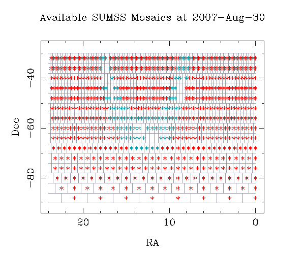
Also, in terms of looking up other radio surveys which look at the Southern sky, if the object is between -90 and -30 degrees declination, you may find some other radio postage stamps from the SUMSS survey: http://www.astrop.physics.usyd.edu.au/cgi-bin/postage.pl
The SUMSS coverage map is found here: http://www.astrop.physics.usyd.edu.au/images/available_mosaics.gif
Posted
-
by
JeanTate
Thanks Ivy, Kyle.
SUMSS (843 MHz) is available from SkyView; I guess that's the same SUMSS, right?
One question I forgot, orientation: is N up and E to the left (as in the FIRST/WISE fields)? If not, would it be possible to add a pair of vectors to show the orientation?
When I get a chance, I'll have a go at producing some different overlay images, of the same field(s), so we can get a feel for ATLAS/SWIRE ...
Posted
-
by
ivywong
scientist, admin
No, thanks @JeanTate for the overlays. Yes, North and East are always aligned to be up and left of a subject.
Posted
-
by
KWillett
scientist, admin, translator
Just a correction (possibly important) - the ATLAS images are actually 2 x 2 arcmin on each side, so they are slightly SMALLER than the FIRST images.
Posted
-
 by
speakeasysky
by
speakeasysky
Australia and Hawaii aren't very far away. Maybe matching up the ATLAS data with SMA, and matching that with the WISE data would be beneficial..
It looks like the SMA data is available for public use 15 months after being recorded (And earlier for Principal Investigator use)
Posted